Views from Fort Revere in Hull

Here is an updated version of a previous post about Fort Revere, a long standing fortification on the Hills overlooking Pemberton Point and the Outer Boston Harbor islands. This is a great place to visit to view the Brewsters and Boston Light, with a view reaching far up the North Shore on a clear day! See the updated post here.

fort revere

Posted in Uncategorized | Comments Off on Views from Fort Revere in Hull

Historical place of the week: Oldest House on Nantucket

jethro coffin house

This old Nantucket colonial house, known as the Jethro Coffin House, is located just outside of Nantucket’s central downtown. The house is located on a place called Sunset Hill, a highland to the West of downtown near Cliff Road. Built in 1686, it is the oldest surviving house on the island of Nantucket and gives some perspective on the original English settlement of the island. While not the earliest settlement in Massachusetts, the island became very important and strategic given its location and quick access to deep offshore waters. Jethro Coffin was the grandson of the first English inhabitant of the island, Tristam Coffin. Here is a link to the official informational website offering a more detailed history of the house.

The house is known for its garden, a carefully preserved replica of what a colonial era garden would contain. Its gated area behind the house is pictured below:

Jethro Coffin

 A view of the front side of the house form the gated pasture:

historical place of the week

The weathered front door of Nantucket’s oldest house:

Nantucket door

Posted in Boston Harbor History, historical place of the week, Uncategorized | Tagged , , , | Comments Off on Historical place of the week: Oldest House on Nantucket

Long Island Light: One of the harbor’s more mysterious lighthouses

Long Island Light is a functioning lighthouse on the Northernmost point of its name sake island, in the very center Boston Harbor. The lighthouse marks the entrance to President Roads, a major Boston Harbor shipping channel, through the narrow passageway between Long Island and Deer Island. In addition to being lesser known, this lighthouse is very mysterious in that the public is not allowed anywhere near it.

Long Island Light in the early morning:

boston harbor

Restricted to the public, Long Island is known as being an institutional facility for Boston’s troubled youth and mentally ill. There are some other reasons for which the island is rumored to restricted (and is consequently heavily guarded) which I will not mention here. Long Island is the largest of the Boston Harbor Islands, spanning from the coast of Quincy to close to Winthrop. It was the sight of Fort Strong in WWII, and was the inspiration for the film Shutter Island. Only accessable through the long bridge starting on Moon Island, the narrow roadway leading here is guarded around the clock.

Rounding the North side of Long Island on the way into Boston:

boston

Long Island Light in the afternoon. Situated on the West side of the island, the light gets more exposure in the afternoon sun, whereas it is obscured by the shadows in the morning. Here one can see Long Island’s signature water tower in the distance:

boston harbor

Long Island Light from a closer vantage point:

boston harbor

Posted in Boston Harbor Cruises, Boston Harbor Day Boat Trips, Boston Harbor History, Boston Harbor Navigation, Uncategorized, Visiting Boston Harbor | Tagged , , , | Comments Off on Long Island Light: One of the harbor’s more mysterious lighthouses

Way off course: US Virgin Islands

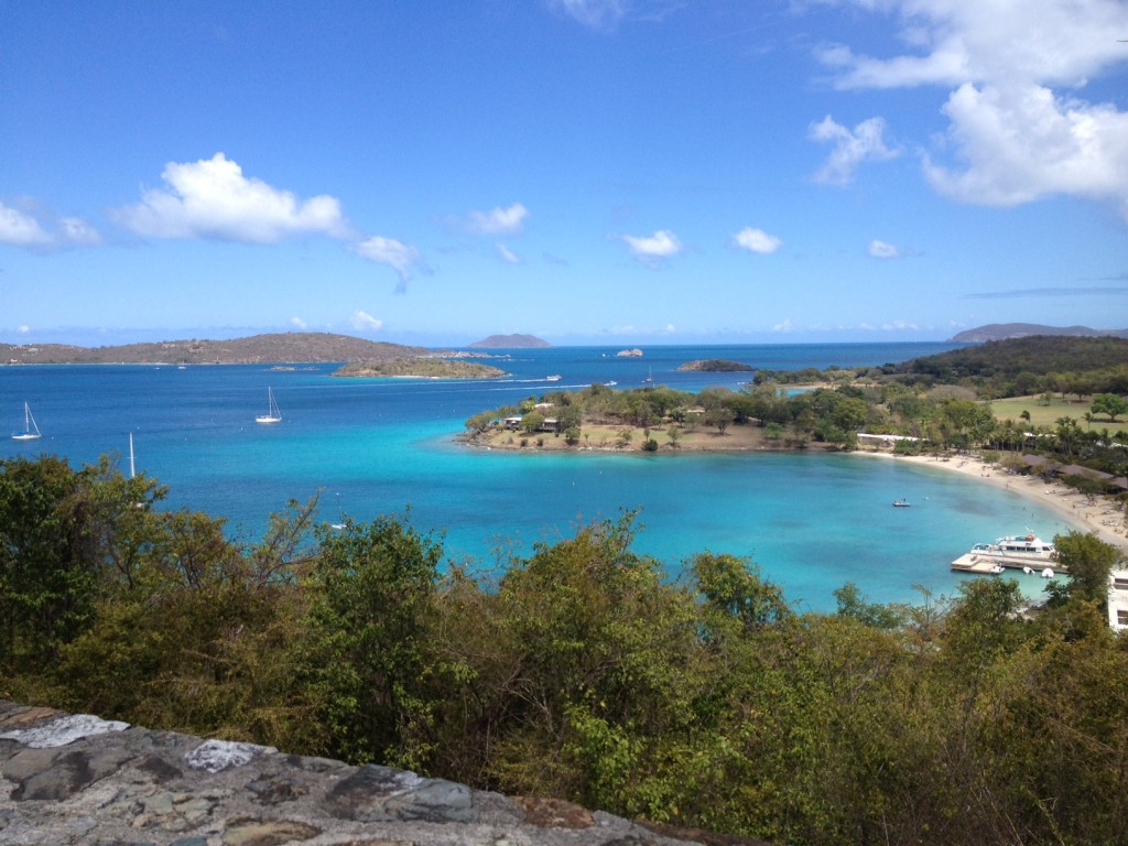
The US Virgin Islands National Park: Gazing out along the desolate shoreline, one beholds a sight conceivably unchanged from that seen hundreds of years ago by explorers, traders and pirates: rolling green cliffs giving way to remote uninhabited bays of crystal clear blue.
virgin islands

Sometimes it is just too cold to jump on the boat and head out into the waters of Boston Harbor. From January to March, I miss my boating, so I like to hit my second favorite boating location after Boston Harbor: The US Virgin Islands and the Virgin Islands National Park!

This is a boaters paradise given the protected waters, magnificent views and park provided amenities like moorings. Above is a picture overlooking Caneel Bay, on St. John, the gateway to the National Park.

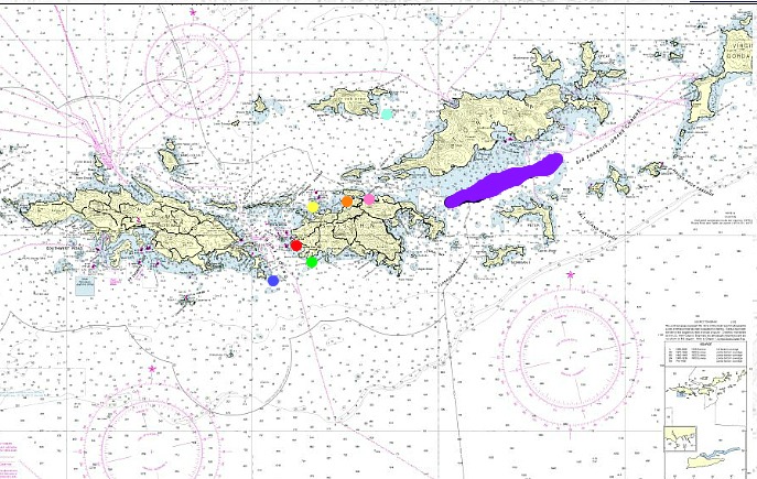
Below are some additional interesting places around the island that I thought would be fun to share. Here is the nautical chart of the Virgin Islands, again provided by the helpful folks at the NOAA. I have put in some markers to denote locations of the following pictures:
chart

*Source: NOAA nautical chart.

Legend: Blue=Dog Island, Red=Cruz Bay, Green= Chocolate Hole, Yellow= Caneel Bay, Orangle = Maho Bay, Pink=Leinster Bay, Big Purple line = Drake Passage.

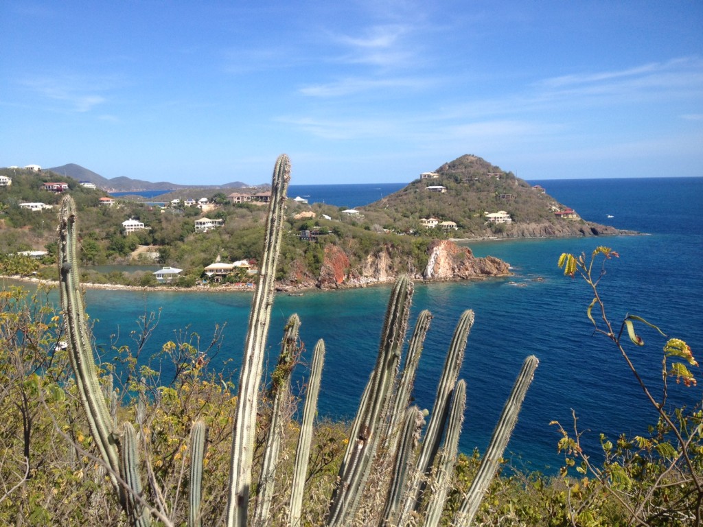
Some interesting Flora overlooking Chocolate Hole, on the Southwest side of St. John. From here, the Island of St Croix is visible on a clear day despite being almost forty miles to the South:
St John

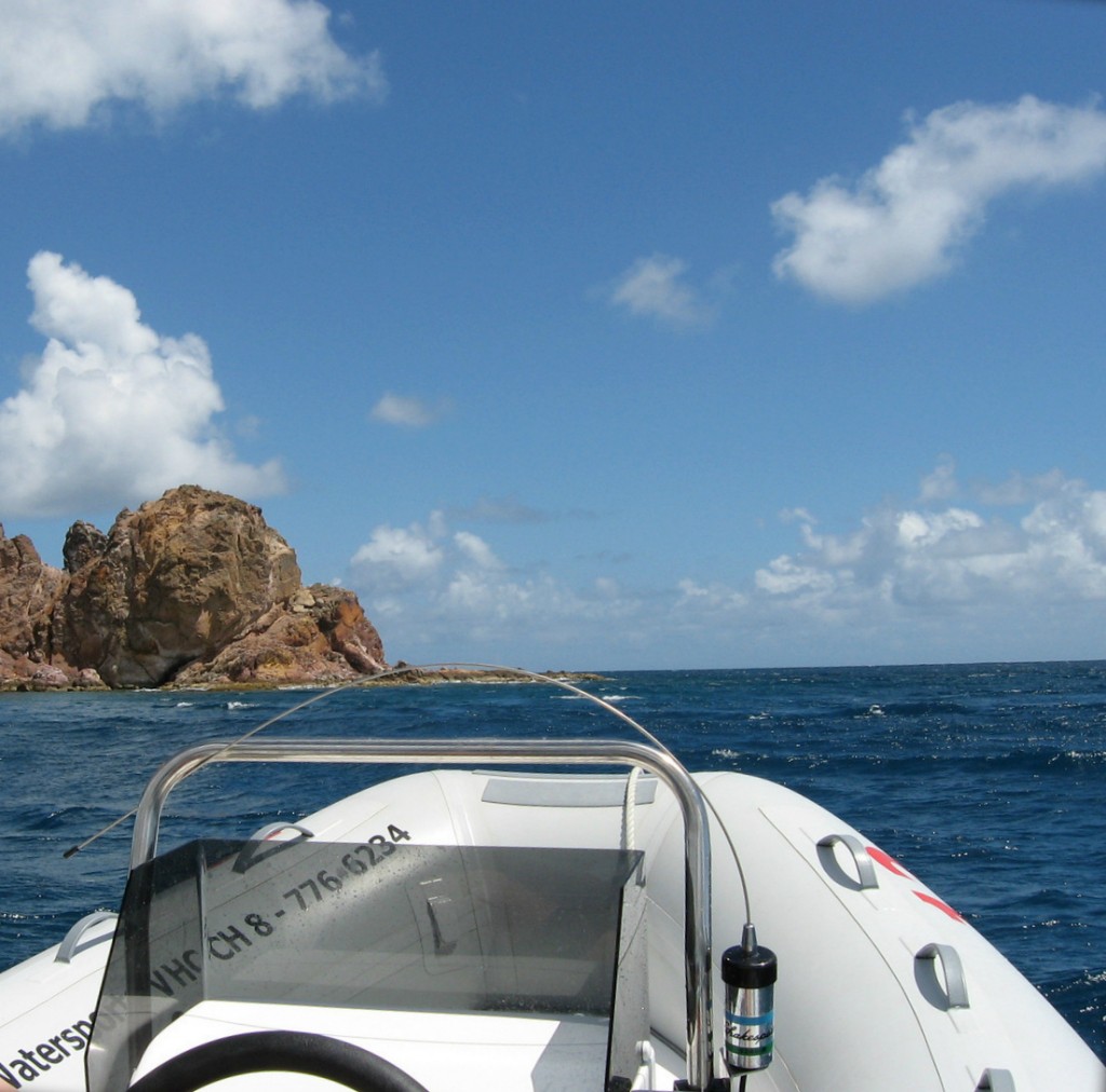
Taking a small craft around the South side of St. John:
boat

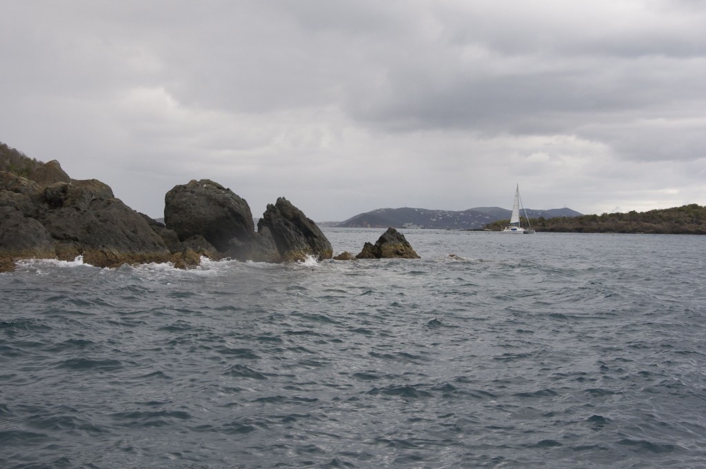
Hawksnest Bay on the North side of St. John, in the US Virgin Islands National Park:
virgin islands

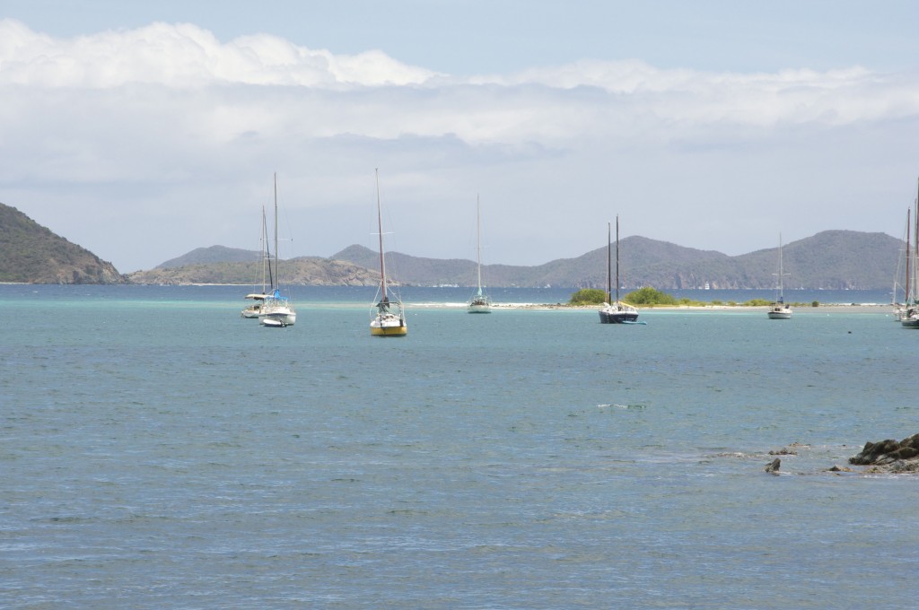
Coral Bay, on the protected Southeastern side of St. John. This is a fun place to tie up, and has a cool bar called Shipwreck Landing.
st. Jonh

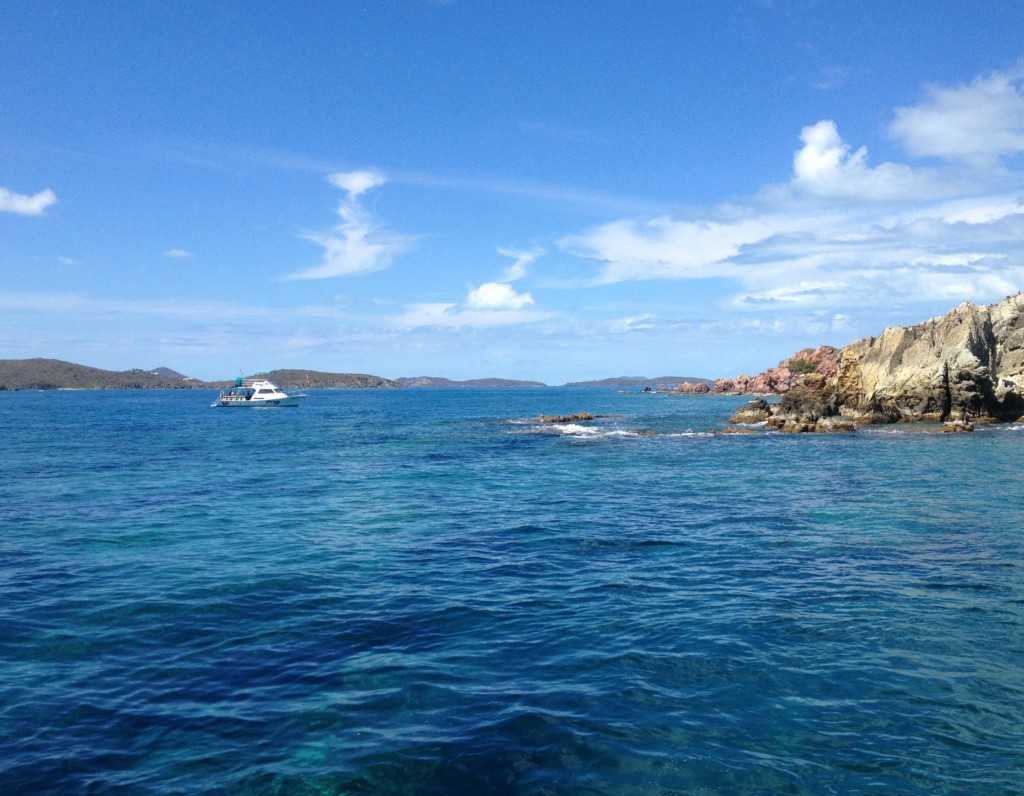
Dog Island, a cool snorkeling location between St. Thomas and St. John:
St Thomas

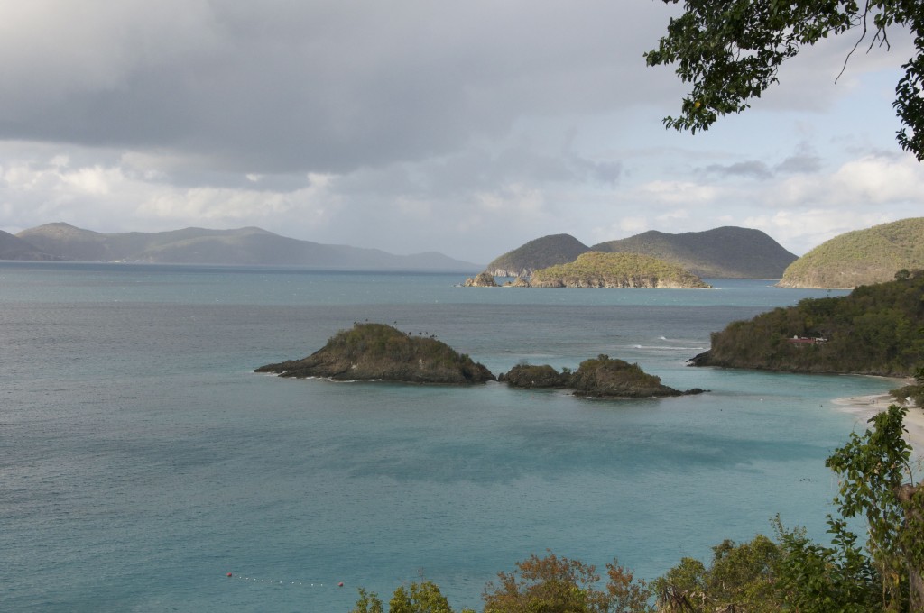
Overlooking Trunk Bay, in the US Virgin Islands National Park:
national park

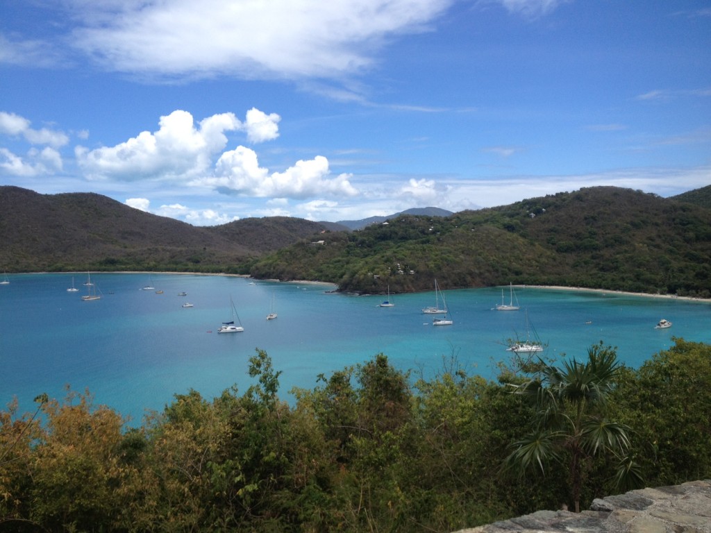
Boats tie up to the moorings provided by the National Park service in Maho Bay, deep in the middle of the park:
national park

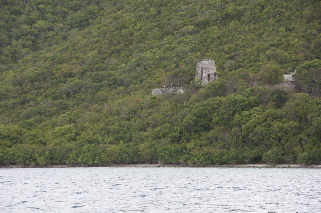
The ruins of Annaberg, a sugar plantation built on a protected bay by Danish Settlers in the 17th century. This view of rolling green cliffs giving way to remote, crystal clear blue bays that is likely unchanged from what explorers, traders and pirates saw hundreds of years ago:
virgin islands

The Annaberg ruins as seen up close from land:

national park

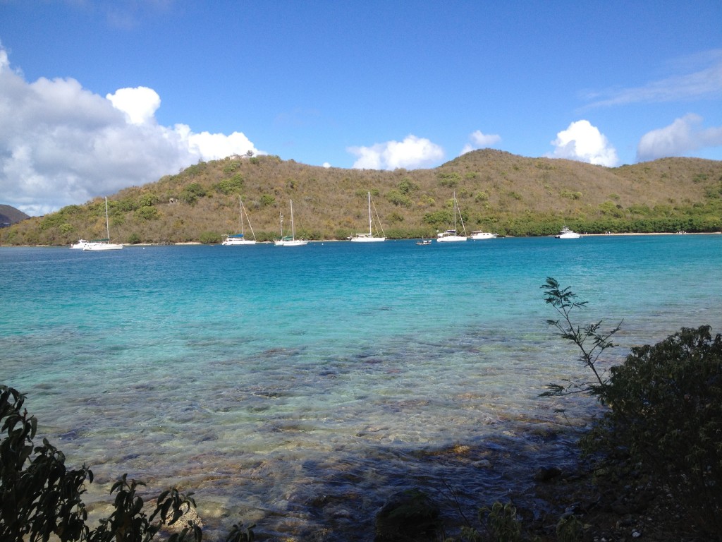
Leinster Bay, deep in the heart of the US Virgin Islands National Park. This bay has crystal-clear waters and is a great place to tie up:
virgin islands

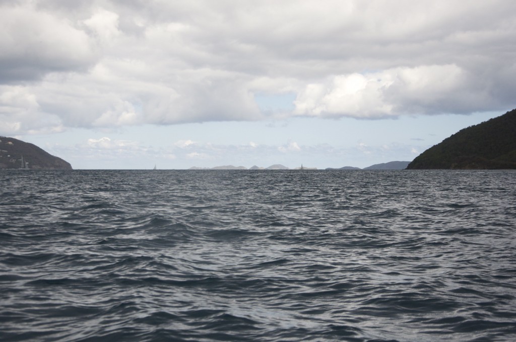
Views: Looking East up the Drake’s Passage, with St. John to the right and Tortola on the left. this location marks the division between US waters and the British Virgin Islands (BVI). In the distance, one can see all the way down the channel to the distant Virgin Gorda at the end of the BVI chain. The Drake can get very choppy with the afternoon breeze- fortunately this year we had a calm (but overcast) day.
virgin islands

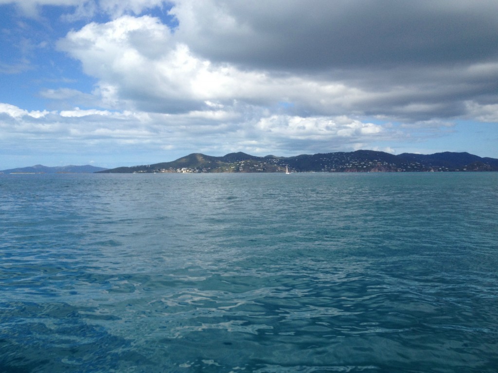
Looking East at St. John, from St. Thomas. The West side of St. John is thickly settled, while the other sides are virtually wilderness.
harbor

Sandy Spit near the division of US and British Virgin Islands. This is a great place to anchor a boat, and is in close proximity to Jost Van Dyke, which in addition to the famous Soggy Dollar Bar, has sweeping views South across the US and British Virgin Islands.

jost van dyke

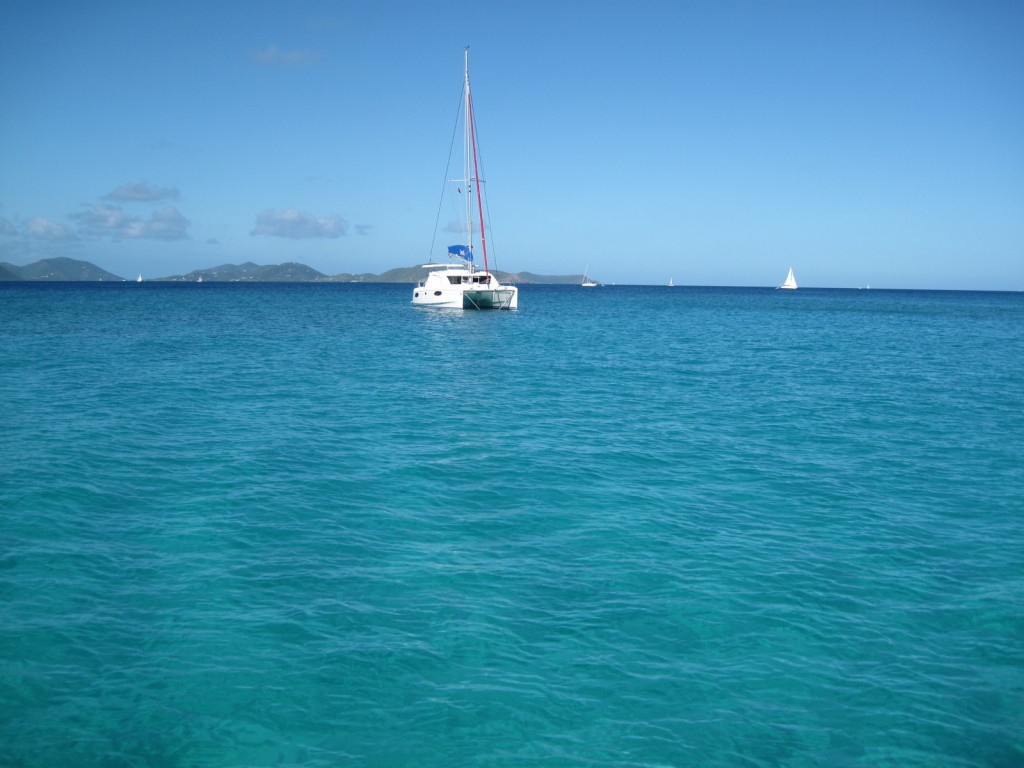
Out in the middle of the Drake’s Passage, near Peter Island and Cooper Island, looking back toward St. John. A trip to the baths on Virgin Gorda, which is a great a location for snorkeling, and makes for a fun and challenging day of boating.
boat

Posted in Off course, Uncategorized | Tagged , , , , , , , | Comments Off on Way off course: US Virgin Islands

Picture of the week: Northern Avenue Bridge

There is something kind of cool about a rusty old bridge against a blue sky:

boston harbor

This is the Northern Avenue Bridge which spans the Fort Point Channel in Boston’s Seaport District. This bridge now opens regularly to accommodate even large vessels which can come into the channel to visit the areas’s museums, restaurants and the new public dock.

Posted in Boston Harbor Navigation, Boston Harbor Picture of the Week, Uncategorized | Tagged , , , | Comments Off on Picture of the week: Northern Avenue Bridge

Lunar Low Tide

A view of the Hingham Yacht Club during yesterday’s very low tide:

hingham harbor

Once again it is the time of the month where the full moon is making the tides more extreme. During this month’s full moon, the low tide was approximately three feet below its average mid-month level. This month’s conditions were ideal for a good photo as the low tide coincided with evening hours and clear conditions. Following our recent pursuit of the full moon last Thursday night, we felt compelled to go observe the effects.

Boaters should be aware of this phenomenon when planning trips around the moon’s cycle. We also know that some places normally not accesable do indeed become exposed during an extreme low tide, such at the spit at Thompson Island, the Rams Head Flats off Lovells Island, the Bumpkin Island spit to Hull, and the large area of flats off Castle Island.

Heading into the city of Boston while carefully navigating the flats off Grape Island:

boston harbor

Hewitt’s cove in Hingham, with the Hingham Harbor Islands just about completely attached to land:

hewitts cove

Hingham’s ragged island at low tide. This is almost like a scene from Maine or Nova Scotia (the further from the equator one is, the more pronounced the tides are).

low tide

Posted in Boston Harbor Navigation, Boston Harbor Tides, Uncategorized | Tagged , , , , , , | Comments Off on Lunar Low Tide

Views from Stellwagen Bank

Approximately thirty miles East of Boston Harbor lies Stellwagen Bank, a National Marine Sanctuary that his home to a great variety of marine life, including whales. Here are some tips for experiencing this area and some photos of whales out on the bank!

stellwagen bank

 Some photos taken from one of the many whale watch boats that leave Boston Harbor daily to make the trek out to the bank. Here is a rare sight: A mother humpback whale swimming alongside her calf:

stellwagen bank

Another whale surfacing for some air:

stellwagen

Rising from the ocean floor up to depths less than one hundred feet, Stellwagen Bank’s floor receives enough light for plant life to grow. The area thereby creates a viable ecosystem for fish as well as marine mammals. Stellwagen covers a vast area, from the Northwest corner not far Southeast of Marblehead, MA, to the Southeast Bank off the coast of Provincetown, MA. The trip out to Stellwagen is most easily done via high speed ferry: There are several operators out of the Long Wharf area, each of which provide a quick ride out to the bank and an excellent tour in which you will likely see a whale.

For those in their own vessels, a trip to the bank can be accomplished in calm weather. From Boston Harbor, it will typically take one and a half hours. Boaters can enjoy great fishing, whale sighting, and sweeping views while out on the bank. There are however, some elements of danger in which boaters need to use caution. The area is very open ocean in which one will lose sight of land on all but the clearest days. Its best to check for a long window of good weather and light winds- if the weather turns while you are out there, it is going to be a LONG ride home. Safety devices (floatation, radio, etc) are an obvious must have, and boaters should go in pairs if possible. The bank is usually occupied with fishermen and whale watch boats on the weekend, but can be more desolate during the week or off-season. Finally, boaters need to be particularly cautious to not approach whales in compliance with the Marine Mammal Protection Act. Certain vessels will be speed restricted during certain times of the year for the protection of endangered Right Whales which roam the area.

A NOAA chart of the Stellwagen Bay area in the middle of Massachusetts Bay. Note the coast of the South Shore to the left of the chart, and Provincetown to the right for reference. Note the purple line representing the shipping channel, and a precautionary area nearby warning mariners of possible whale habitats. Also note the LNG terminal area on the chart- boaters coming to the bank from the North Shore should take care to avoid this area. See the link to this chart 13267 for a closer, zoomed in view and more details about the area restrictions.

massachusetts bay

*NOAA Nautical Chart. See NOAA.gov for disclaimer.

A video taken from Stellwagen Bank looking back West toward the city and watching a large vessel come back in through the shipping channel. One can see what a peaceful and desolate place this can be on a calm summer day:

Posted in Boston Harbor Navigation, Fishing, Tour Boats, Visiting Boston Harbor | Tagged , , , | Comments Off on Views from Stellwagen Bank

The full moon rising over the South Shore

April 25th was the unique combination of a full moon, a sunset moonrise, and a clear night in which the moon can be seen!  Here is a view of the moon rising over the South Shore, from Black Rock beach in Cohasset, Ma. Tonight’s full moon has an azimuth of 118 degrees, meaning that the moon rose 118 degrees from true North, or 28 degrees South of due East:

moon south shore

Posted in Boston Harbor in the Winter, good views, Visiting Boston Harbor, Weather | Tagged , , , | Comments Off on The full moon rising over the South Shore

Picture of the week: American flag at Rowes Wharf

The American Flag hanging in the rotunda of Rowes Wharf today. This was a welcome sign after a tough past week in Boston!

american flag

Posted in Boston Harbor Navigation, Boston Harbor Picture of the Week, Visiting Boston Harbor | Tagged , , | Comments Off on Picture of the week: American flag at Rowes Wharf

Hingham Bay from Above!

The South Shore from the air! Here is a East-facing photo I took the other day while on approach to Logan Airport. Hull and Cohasset in the background, World’s End and Hingham’s Crow Point in the middle, and Grape and Slate Island in the foreground:

boston harbor

If you read this blog, you know I love photos that provide unique spacial perception- I think this is one of them, despite its grainy quality. I have others on this sight, including The Cape and the Islands and The Boston Harbor Area.

Related Posts Plugin for WordPress, Blogger...
Posted in Boston Harbor Birds, Boston Harbor Navigation, good views | Tagged , , , | Comments Off on Hingham Bay from Above!