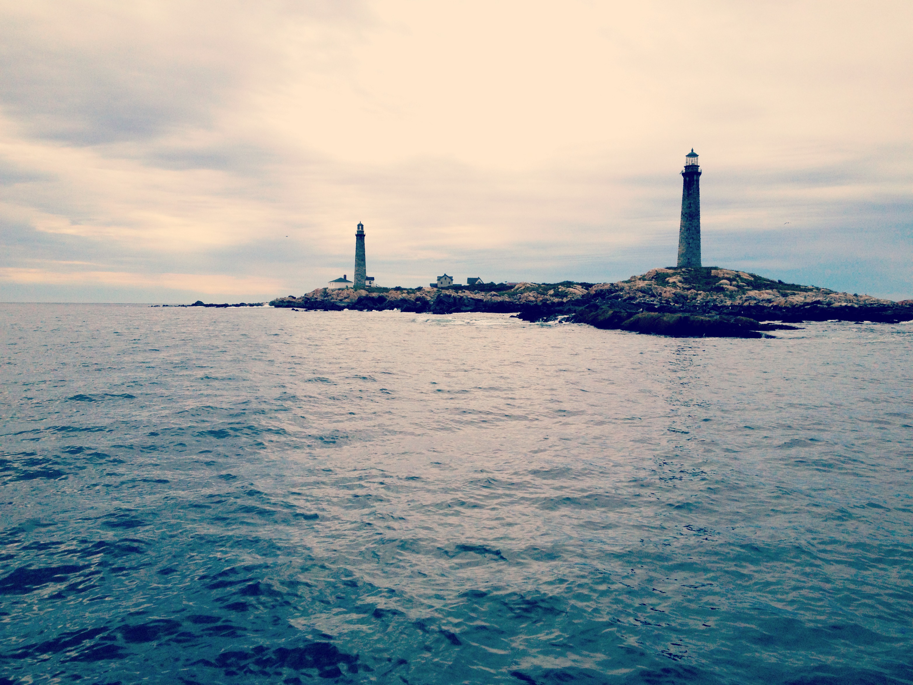
This past Sunday’s conditions were ideal, so I made a trip up to Cape Ann. After navigating past the beautiful and secluded twin lighthouses of Thacher Island off Rockport’s coast, I decided to take advantage of the conditions and head further North. This took me around the top of the Cape Ann and back through the Annisquam River. This is a perfect day trip for a boater coming out of Boston Harbor or the South Shore: far enough to be an adventure, but close enough so that you never have to go too far from shore or worry about the weather taking a turn for the worse.
Gloucester is a destination that I have visited by boat several times, and found it to be fun and relatively easy in a 28ft boat. One can get from the start of the North Channel off Deer Island to Gloucester Harbor in about an hour with decent speed. The distance from the mouth of the Boston Harbor at Deer Island to the end of the Dogbar breakwater outside Gloucester Harbor is exactly twenty-two miles. In past trips, I have found that the seas get rougher as you head North and out of the protection of Cape Cod, but Sunday was a truly gorgeous day for boating: despite overcast skies and chilly temperatures, there was no wind, and the 44013 buoy was reading wave heights of only 1.3 feet.
This post focuses mainly on the outer points of Cape Ann, Thacher Island and the Annisquam River, but I also have earlier posts about the North shore for those who may be intereated, including a more general description of getting to Gloucester by boat, and another post about navigating Salem Sound.
The Lighthouse at Gloucester’s Eastern Point (taken from the big granite blocks of the Dogbar breakwater, on a brighter day last summer):
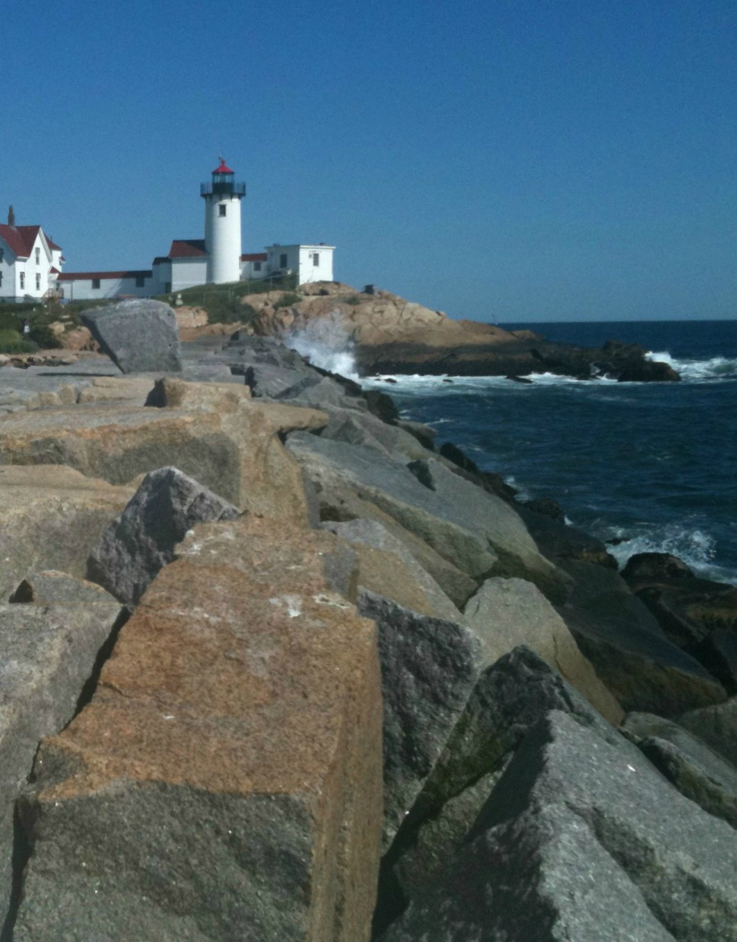
Heading to Gloucester Harbor is fairly straightforward, as boaters can follow the North channel all the way to the end, and then keep a similar distance to shore all the way up. There are some obstructions offshore around Salem sound, including Tinkers Island and various ledges and rocks, so boaters want to stay far enough offshore to avoid these. This can be done by observing the red buoys. I try to aim for the green “1” buoy off the North entrance to Salem Sound. Once beyond here, the dogbar breakwater and Eastern Point should become visible. Further out on the horizon, the twin lighthouses of Thatcher Island loom offshore.
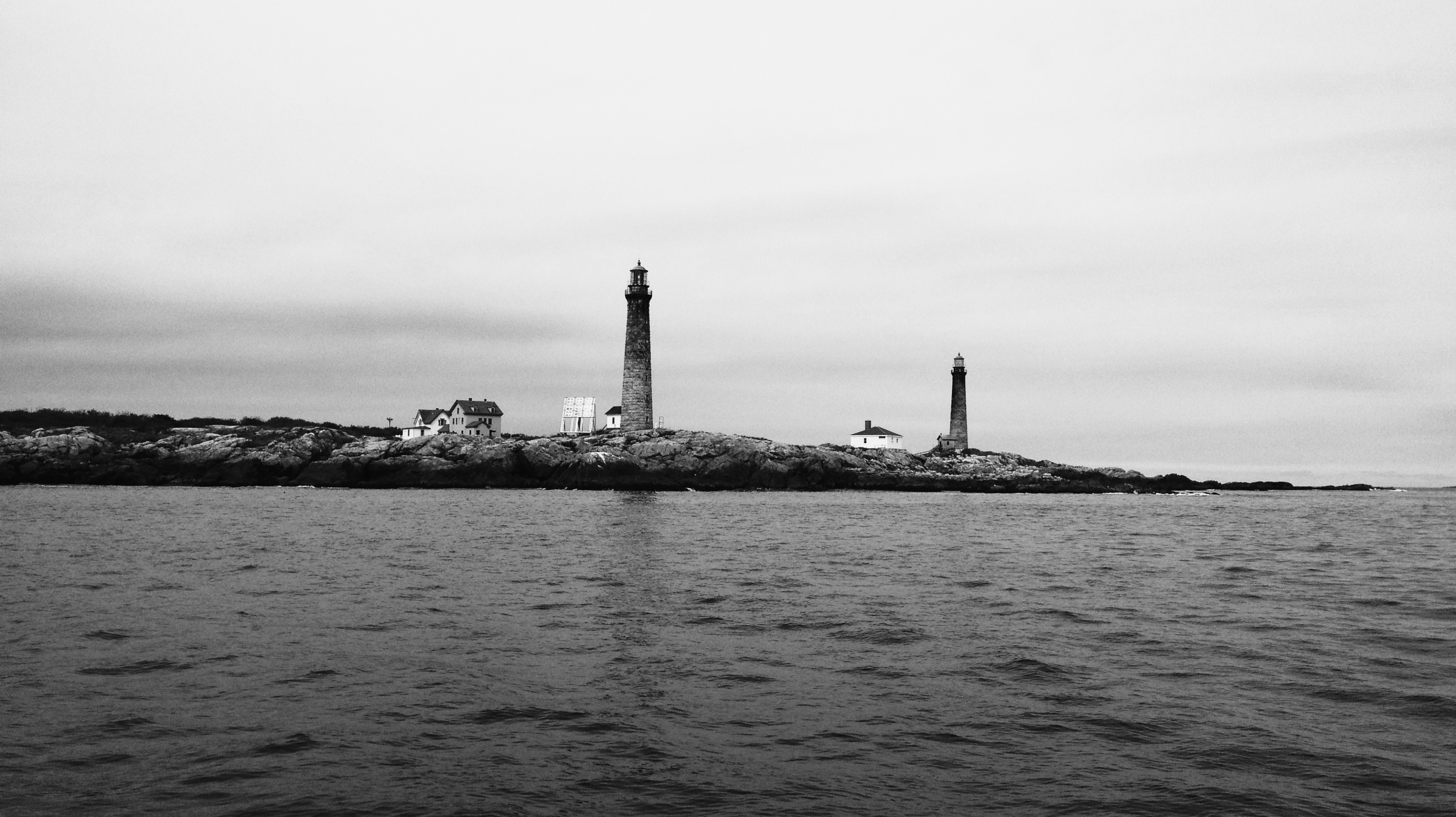
Built in 1771, Thacher Island was named after Anthony Thacher, an early settler of the Massachusetts Bay Colony. According to legend, Thacher was tragically stranded on the island during a great storm in August of 1635 along with his entire family, all of whom perished except for Thacher and his wife. Thacher was said to have been aboard a vessel owned by Issac Allerton- after whom Allerton Point of Hull was named- on its way around Cape Ann from Ipswich to Marblehead when this great storm struck. Early in the 17th century, Thacher Island was documented by Champlain and then John Smith who dubbed them one of the three “Turks Head” islands now known as Straightsmouth, Thacher and Milk Islands.
The island lies less than one mile east of Rockport and roughly three miles north of Gloucester Harbor. Tall, thin and weathered, the twin lights sit out amid a rough open sea in way which is uniquely beautiful but somewhat eery. A dangerous rock outcrop lies several hundred yards to the Southeast, but is well marked with a high stick.
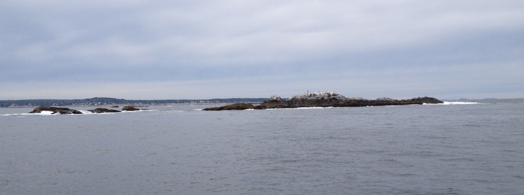
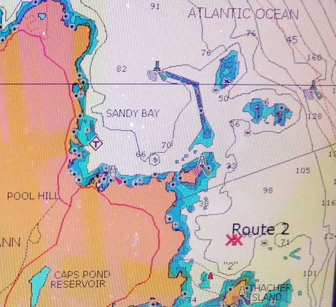
Heading further north, before reaching the entrance to Rockport Habor and its breakwater, there are several major rock outcrops. These are the Dry Salvages and Little Salvages. These obstructions are quite dangerous in fog or at night, but in clear visibility, the rocks are well above the ocean’s surface. I think the best bet here is to observe the green buoy East of the Salvages and stay outside of them. Below are the Dry Salvages as viewed while passing to the North:
A chart view of the salvages and the Rockport Harbor breakwater:
Upon heading further North, one passes the Northernmost point of Cape Ann, Halibut Point. This is a state park where my grandparents took me when I was a kid. There is a quarry at Halibut point, which can be seen below. There is also a WWII-era submarine lookout tower on the hill.
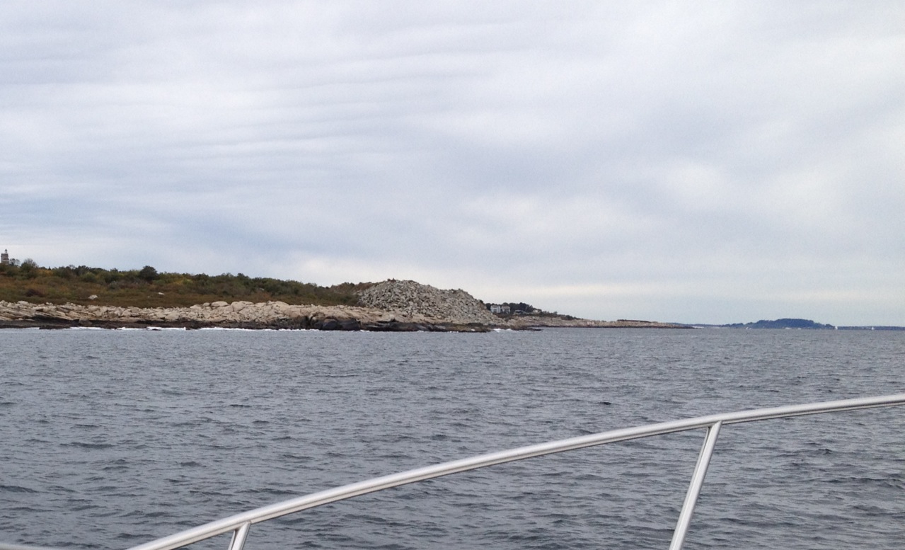
Below is photo of my GPS screen while off Halibut Point (the boat is the black-boat shaped dot), with some notes scribbled on for reference. The blue arrow is Thacher Island, The red arrow is the Dry Salvages. The green arrow is the path into the Annisquam river.
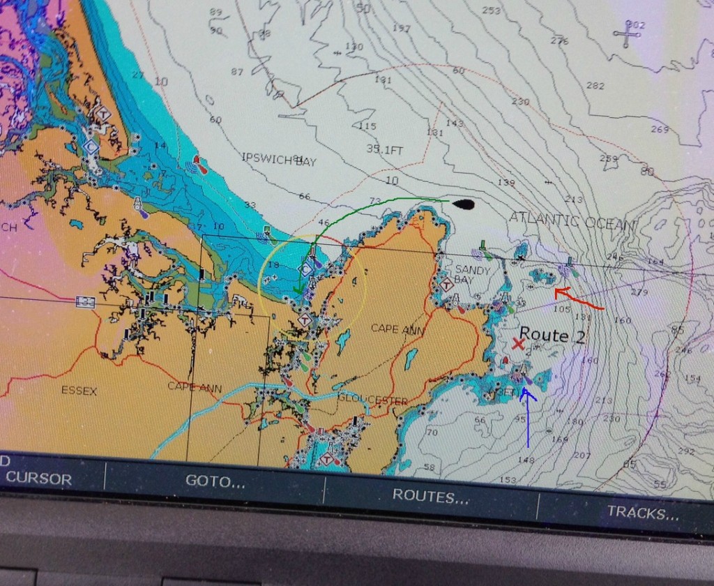
Here is the view to the North up the coast, toward Ipswich and Plumb Island. On a clear day, one can see New Hampshire, and the distant Isles of Shoals off Portsmouth, NH.
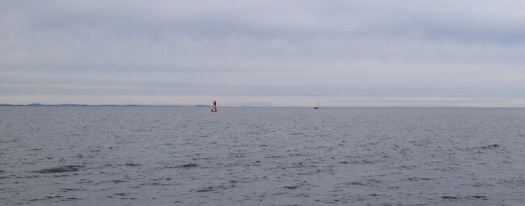
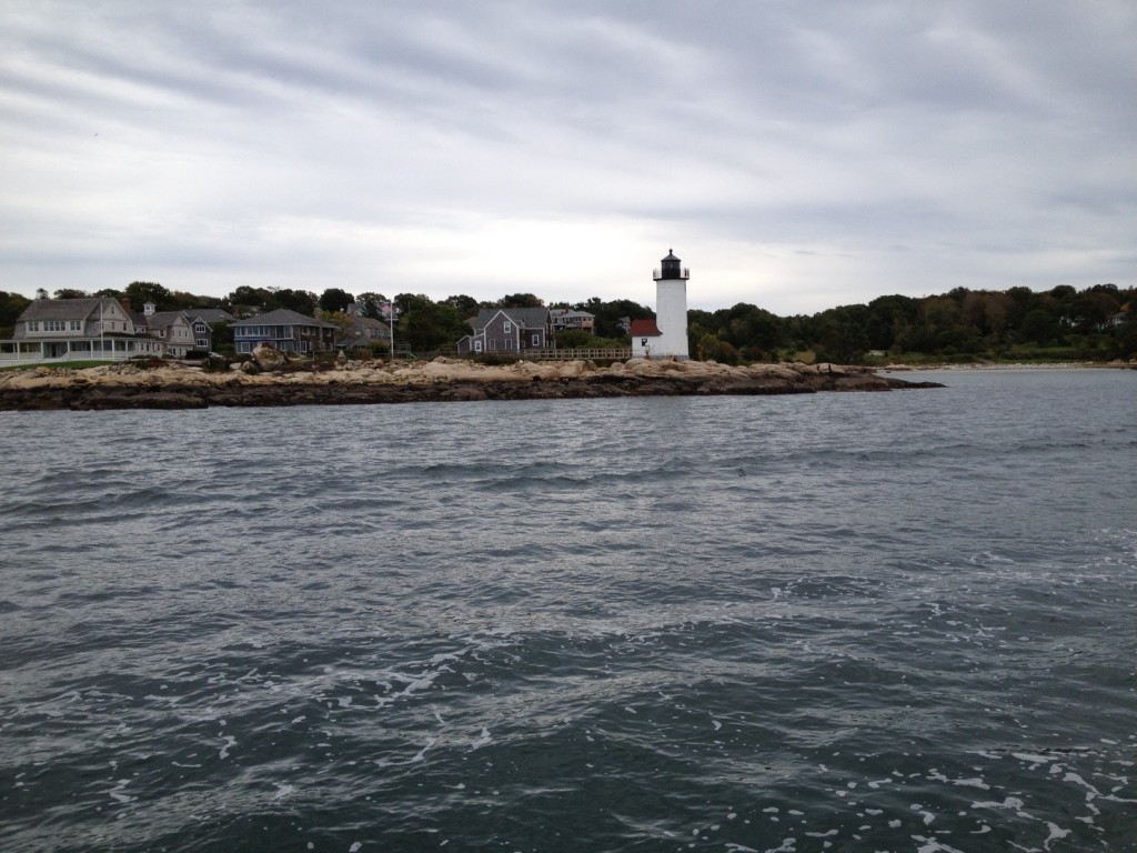
Below is the approach to the Annisquam river. The sides are shallow and there is large spit that emerges at low tide. However, I found the channel to be very well marked, with many buoys and a nice little lighthouse:
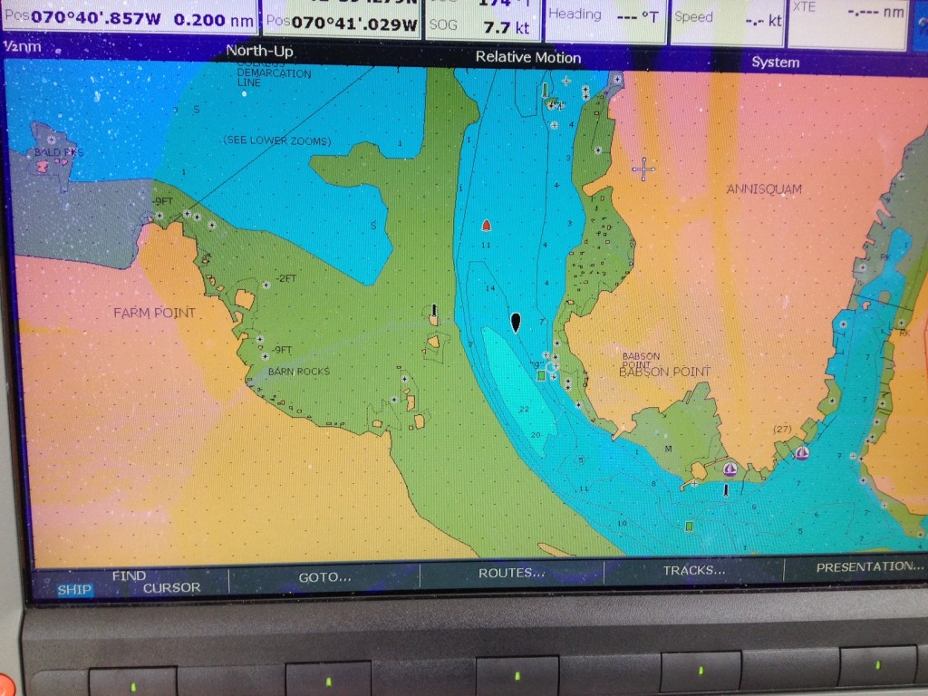
A view from the GPS while entering the river. See the spit (green, to the left of the channel), which could be a danger at high tide.
The retractable railroad bridge further down the Annisquam:

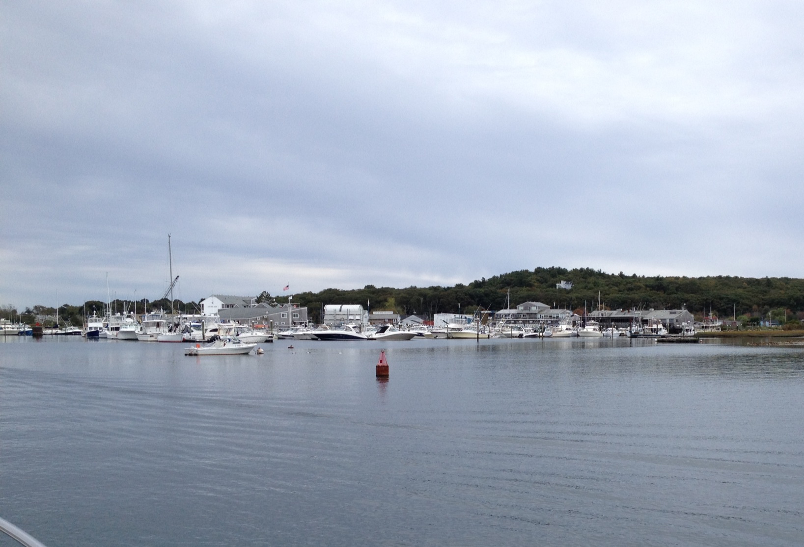
Cruising by the Cape Ann Marina:
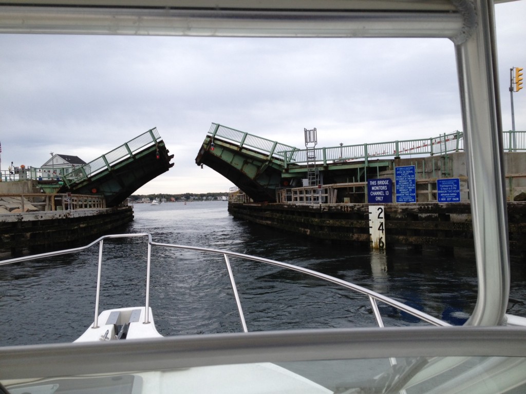
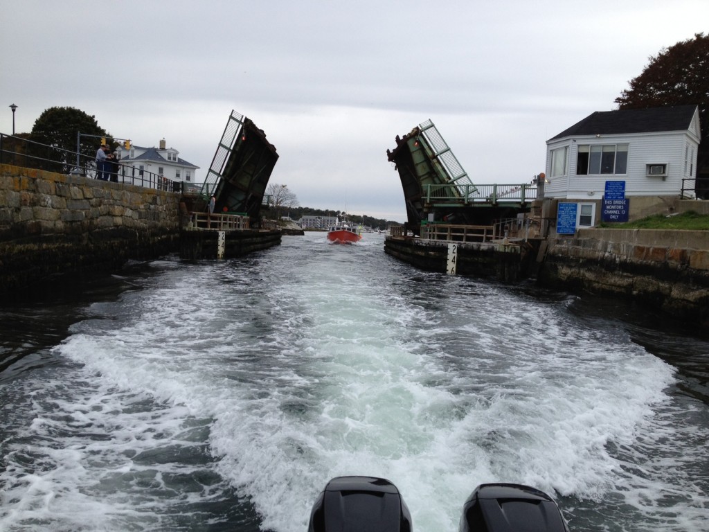
Heading into “the cut” – Blynman Bridge at the entrance to Gloucester Harbor. Small boats may be able to fit under at low tide, but if you can’t fit, the bridge operators monitor channel 13 and will open the bridge periodically, with Southbound traffic going first. I travelled the channel in a rising tide and noticed a pretty strong current flowing from North to South, which helped cut down my time in Annisquam to about 35 minutes.
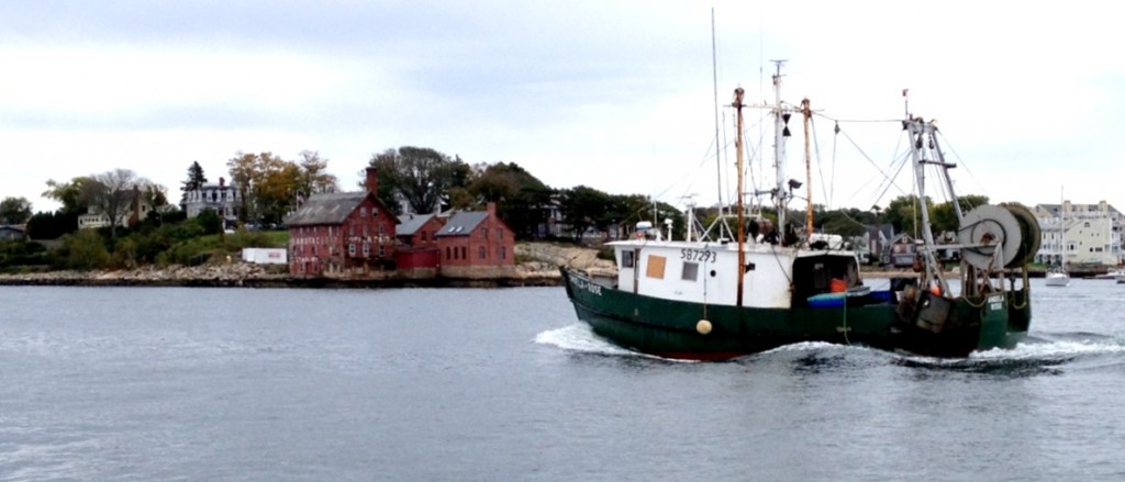
A trawler passing by Rocky Neck on the Southeast side of Gloucester Harbor:
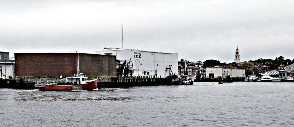
A view of the port of Gloucester from the water:
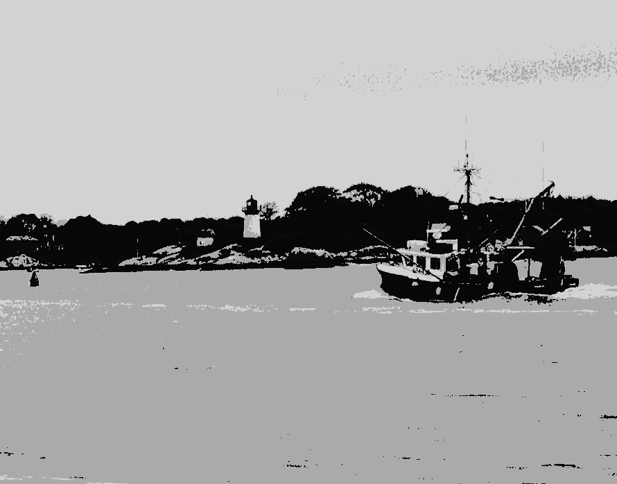
A fishing boat passing Ten Pound Island Lighthouse:
Heading home: A distant view of the Boston Skyline, visible in the distance when leaving the mouth of Gloucester Harbor:
