Boston Harbor Picture of the Week – Cohasset Sunset

Sunset over Cohasset on the evening of Friday, July 20th.

Posted in Boston Harbor Picture of the Week, Weather | Tagged , , | Comments Off on Boston Harbor Picture of the Week – Cohasset Sunset

Tell us how you really feel about fishing regulations…

I saw this bumper sticker about the National Marine Fisheries Service more than once on the South Shore earlier today. This is obviously a complicated subject which I am not knowledgeable enough about to opine, but its interesting to note that such strong views exist about the National Marine Fisheries Service, which is the agency which makes fishing regulations.

Posted in Boston Harbor History, boston local issues | Tagged , , | Comments Off on Tell us how you really feel about fishing regulations…

Monster Crab Alert!!!

The combination of low tide and dusk means one thing at New England beaches- Crabs!

While I was wading out in the shallow part of the beach last night I was attacked by this monster crab. He was pretty fierce, but i risked a few digits to pick him up and carry him back to shore for the sake of entertaining my young son. I would say that this crab was over a foot long when measured from claw to claw.

Pretty fierce!

We ultimately let him go, being the lovers of all creatures (except Spiny Dogfish) that we are…this monster crab quickly scurried back to into the deep waters to attack someone else.

The abundance of crabs in the waters around the Boston Harbor and Massachusetts Bay beaches is a good sign, as it is indicative of a healthy aquatic ecosystem. Boaters can easily catch crabs with a crab trap at the dock. They are not great eating, but are fun to catch.

Posted in Fishing, Uncategorized, Visiting Boston Harbor | Tagged , , , , | Comments Off on Monster Crab Alert!!!

Passing under the Long Island Bridge

Here is a cool video I took while on the Hingham commuter boat recently during the pass under the Long Island Bridge:

With the recent commuter boat fare increases now in place, I can’t really say that the ride is 30% better than it was before. Regardless, it’s a very nice way to commute into Boston, especially in the summer months.

Posted in Commuter Boat | Tagged , , , , , , , | Comments Off on Passing under the Long Island Bridge

The Roaring Bulls

Perhaps the most dangerous thing to boaters in the outer harbor are the Roaring Bulls, two rock outcrops between Green Island and the Graves. These rocks are so deadly because they lie just under the waterline at high tide. The Roaring Bulls and Graves light are listed as one of our top dangers of the Boston Harbor in a previous post.


 The chart images contained herein were obtained by the NOAA and are being used in accordance with their terms of permitted use. Altered and redistributed charts such as those shown below should not be relied on for navigational purposes. Please download the full version from “www.charts.noaa.gov” and please see terms of service at http://www.charts.noaa.gov/RNCs/Agreement.shtml?13270.

I have an interesting video which I took of waves crashing over the bulls at mid tide. It highlights how dangerous the Roaring Bulls can be to boaters. I have a good GPS shot below of my location as I took the video. See my position relative to the bulls.

Video of the roaring bulls, on a rough day near mid tide.

My position, as seen via a GPS screenshot:

Boaters will often miss these rocks as they are located in a very open area where they water looks deceptively deep. I not experienced or witnessed any disastrous boat accidents at the roaring bulls, but have heard some terrible stories. Be safe out there when you are in the harbor and avoid the roaring bulls!

Posted in Boston Harbor Navigation, Uncategorized | Tagged , , , | Comments Off on The Roaring Bulls

Boston Harbor Beacon Picture of the Week: Sunset over Sunset Marina

A hot sunset over Sunset Marina in Hull, Massachusetts.

Posted in Boston Harbor Picture of the Week | Tagged , , , , | Comments Off on Boston Harbor Beacon Picture of the Week: Sunset over Sunset Marina

Boston Harbor Dry Docks

Most people don’t know that Boston Harbor is often used as a dry dock location for ships in need of repair. Many ships have come into the dry docks over the years to be repaired, even the Queen Elizabeth 2, which was once in need of hull repair in the dry docks after running aground on the Nantucket Shoals during a Southampton to New York run in the early 1990s.

The QE2 as she sits in one of Boston’s dry-docks in the early 1990s. Note the old cars in the foreground:

QE2 Boston Harbor

Dry docks: Despite this being a topic that is clearly not on most people’s list of most exciting and captivating subjects, they are worth a mention given their presence on the South Boston waterfront and their important role in modern nautical and military history. Linked is a 1928 Photo of the USS Lexington (a ship that would be lost at the Battle of the Coral Sea fourteen years later, in the early days of WWII). In the backdrop one can make out the silhouette of Governors Island, now the runway of Logan Airport.

Pictured below is the pier 5-6 dry dock in July 2012, open wide with some type of work being done. Perhaps this is related to all of the extensive development of new housing, restaurants, museums and office space in the Seaport area:

The General Ship dry dock many years ago, as seen from the fish pier, looking East. Note the General Ship crane still present. Also note the aircraft coming in for approach in the background. It is a Boeing 727- they don’t fly too many of those anymore.

Here is a photo from earlier in the year, when a Red Cross Ship was in the other dry dock (which is currently active) located North of Reserved Channel.

A US Navy Ship recently in Boston Harbor’s Drydock:

boston harbor drydock

Posted in Boston Harbor Cruises, Boston Harbor History, Boston Harborfront Development | Tagged , , , | Comments Off on Boston Harbor Dry Docks

Boston Harbor to Nantucket Sound Along the Eastern Route

My buddy Captain Jack asked me if I wanted to come along for a ride down to Cape Cod on his boat today. I replied “of course!” However, I was surprised when he suggested taking the Eastern route- around the outer bank of Cape Cod instead of going through the canal. We checked the wind and weather forecast, and last night decided to go for it! The trip took us around the Eastern side of Cape Cod’s National Seashore and right into Nantucket Sound via the Eastern Entrance.
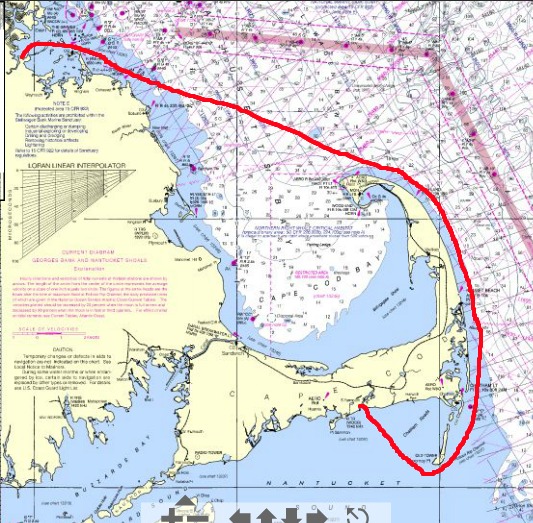
Note: Route is approximate. Not for Navigation. See NOAA disclaimer for details.


We pulled out of Marina Bay in Quincy at 7:05 this morning. The full trip was 4 hours and 15 minutes to the final destination, which was Bass River in Yarmouth, MA.

I would highly recommend this trip, especially if you are heading somewhere on the Eastern Cape or Nantucket Sound. You will need to pick a calm day, as it could probably get quite miserable if the wind picks up. Boaters need to be prepared for the long stretch around the outer cape- there is nowhere to hide if the weather turns ugly. We were in a 25 ft center console with twin 150HP engines, which was very comfortable on a calm day with reported seas of 2-3ft (in reality, probably less). We averaged about 22 knots the entire trip.

Here is the Chronology of the trip:

7:05 AM: Depart Quincy, MA.
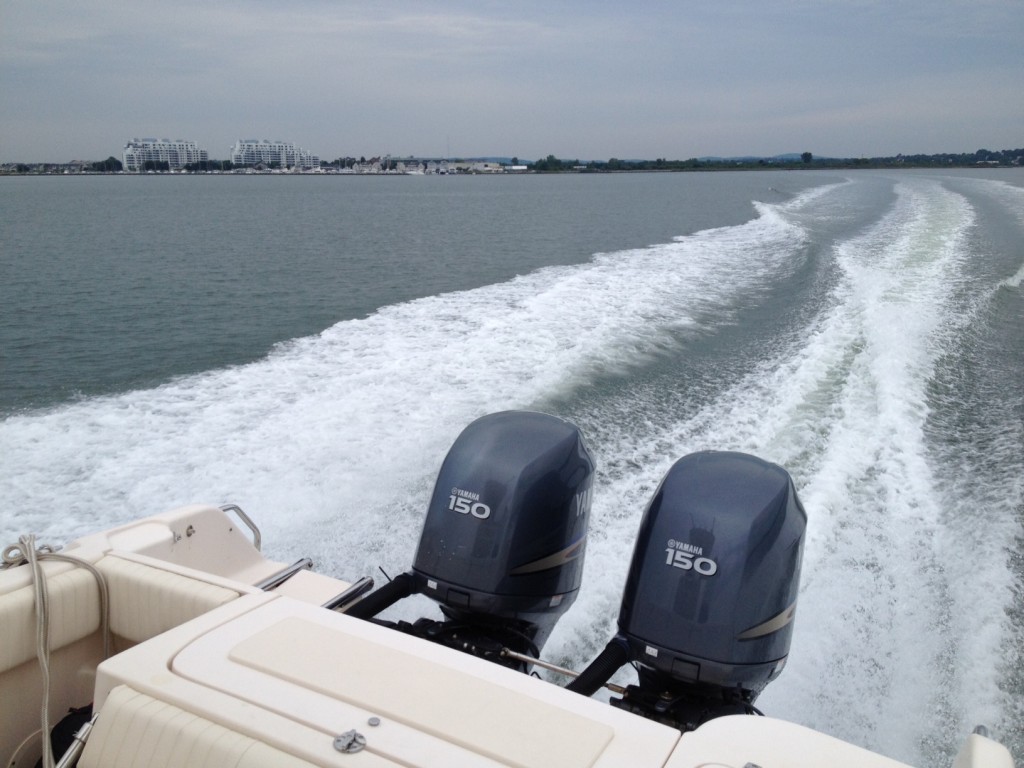
 

7:30 AM: Pass Boston Light and round Allerton Point in Hull. Relieved to find that the seas are calm and the wind is minimal. Make a direct heading for Minot Light, while navigating around Hardings Ledge.
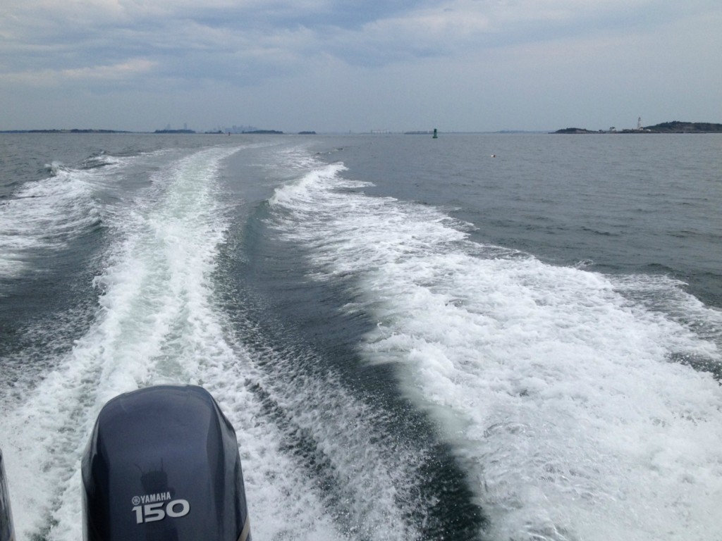
 

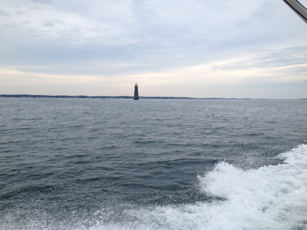
7:50 AM: Pass Minot Light. Start to bear East, while observing onshore landmarks, including the Lawson Tower and the Scituate wind turbine.
 

8:10AM: First view of Standish Monument at Provincetown in the distance across the vast tranquil expanse of Cape Cod Bay. We kept an eye out for whales.
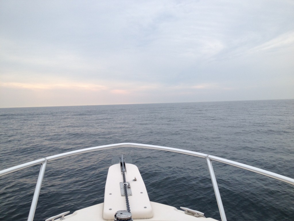
 

9:05 AM: Closing in on Race point, and making a bearing to the East to start our trip along the outer coast of the Cape. Note the Standish Monument at Provincetown provides a great reference point. Viewing the compass and GPS at this point is critical, as South and East can easily be confused given the diagonal running shoreline direction. There is some churning current near Race Point, but overall seas remain quite calm.
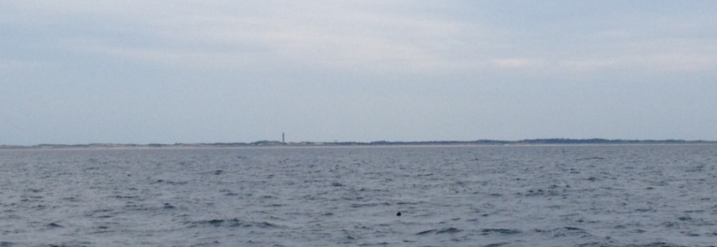
 

9:25 AM: Passing Truro/Wellfleet area. From about a half mile offshore, the sand dunes are very visible and reach several hundred feet high. There are very calm seas without much boat traffic in this area.


9:50: Passing Nauset Light. Good to see signs of civilization after a very isolated stretch.
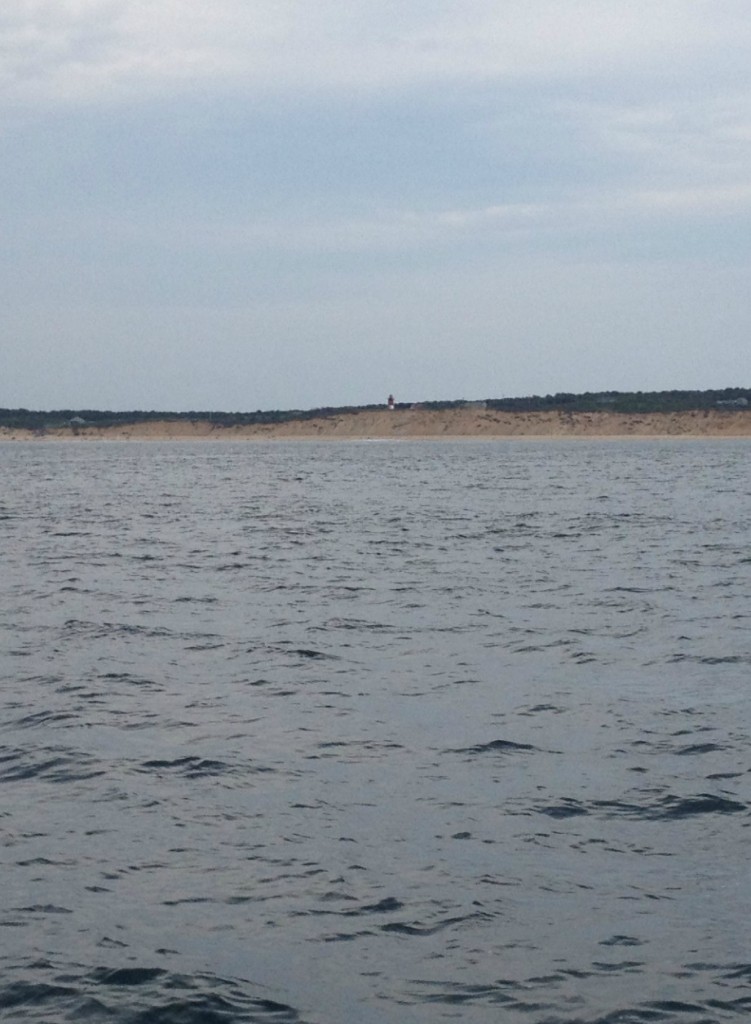
10:20 AM: Passing by Chatham Harbor. The large red and white checker-board water towers became visible about 15 minutes beforehand.
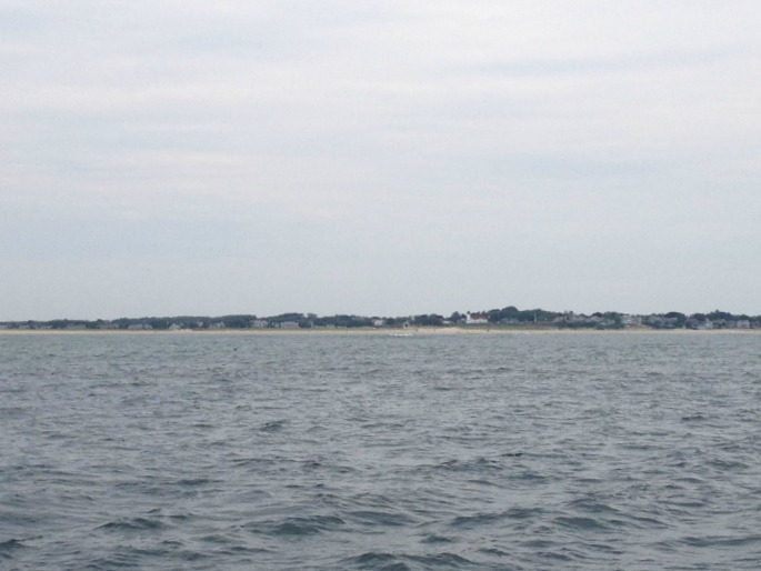
10:45AM: Passing directly South of Monomoy Island. Great Point light on Nantucket is not visible today, as hard as I focus on the distance. It should be on a clearer day, as I have seen the Chatham water towers from the bluffs of Sconset on Nantucket on a very clear day. The water Northeast of Monomoy is very calm, but it quickly becomes choppy once you get to the South of the island and enter into Nantucket Sound.
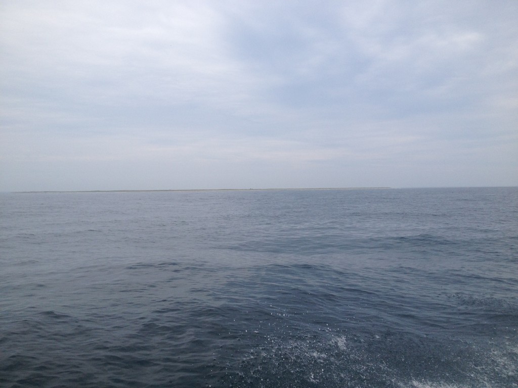
11:05 AM: The four hour mark. Rounding the #2 nun in Nantucket Sound. The chop has picked up significantly in the bay versus out in the ocean where it was quite calm. This must be due to the Southeast wind, although it is not blowing much more than 10kts. There are some shoals in this area, but I did not observe every marker, because it was close to high tide.
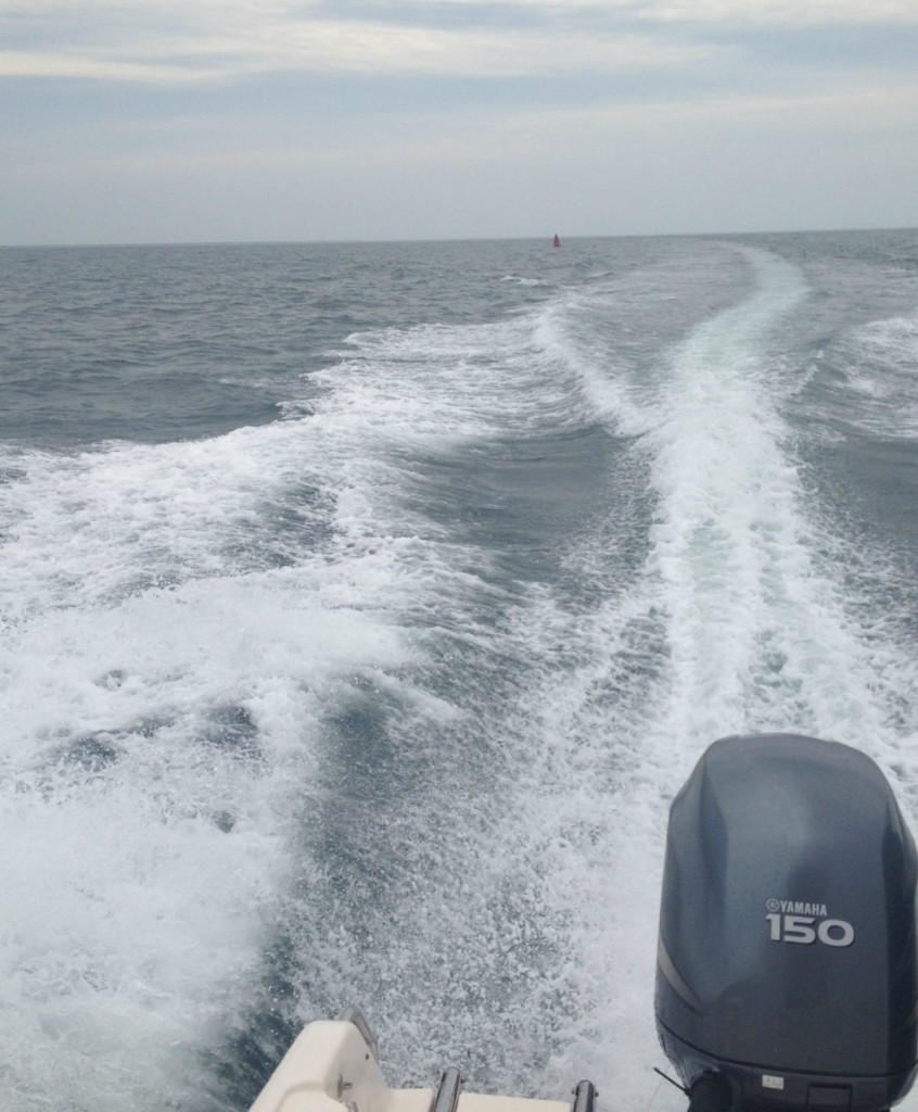
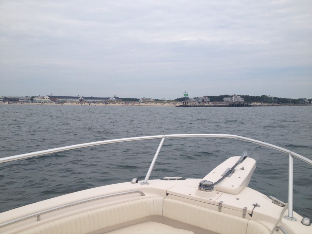
11:20 AM: Pulling into Bass River from Nantucket Sound. Trip complete in 4 hours and 15 minutes. What a great way to see the coast of Cape Cod!
Posted in Boston Harbor Day Boat Trips, Boston Harbor Tides, Boston Whaler, Uncategorized, Visiting Boston Harbor | Tagged , , , , , | Comments Off on Boston Harbor to Nantucket Sound Along the Eastern Route

Another Tall Ship: Unicorn

A few shots of  the tall ship Unicorn, docking at Rowes Wharf and later tied up. See her story here. This ship has been seen regularly around Boston Harbor this summer.


STV Unicorn tied up near Rowes Wharf Friday:


Posted in Boston Harbor Cruises, Boston Harbor Day Boat Trips, Boston Harbor in the Winter | Tagged , , , , , | Comments Off on Another Tall Ship: Unicorn

Safety tip for boaters: Be aware of divers

It is the time of year where divers will be out frequently in the Boston Harbor area enjoying their sport. This means boaters must be careful and observant of them and avoid the areas they are diving in. Massachusetts law requires divers display a diving flag (seen below), and stay within 100 feet of that flag. At the same time, boaters must stay at least 100 feet away from these flags, and if they must approach, they must keep speeds under 3 miles per hour.

Diving Flag. If you see these flag, this is the indicator that recreational divers are down. Stay at least 100 feet away from this area.

Alpha Flag. This is less common, but is a sign that divers are down around a vessel with restricted maneuvering capability.

Source: United States Coast Guard.

Thankfully, the incidence of boater-diver collisions has been historically low in Boston Harbor. However, this is still a very important safety consideration, as the outcome of a collision could be catastrophic. There are many times when I have seen a boater get too close to a diver down flag. The risk is increased in rough seas and large swells, as a flag could temporarily disappear from a boaters view under a large swell.

There are several dive companies and many individual divers that frequently go out in Boston Harbor. I find that the places they most often dive are: 1) West of Graves Light, 2) Around half tide rock and Calf Island, 3) on top of the ledges outside the harbor entrance, including Martin Ledge, Thieves ledge, and Boston Ledge. When in there areas, be particularly careful, and look out for diver flags as you pass through.

Seen below are some boaters parked along the inner side of Calf Island in the outer Boston Harbor Islands. In these areas the ocean floor is deep and jagged, making it very interesting for divers to explore.

Divers at the end of Outer Brewster Island, with a symbol well displayed:

boston harbor

Another popular spot is Egg Rock, up near Nahant:

boston


Related Posts Plugin for WordPress, Blogger...
Posted in Boston Harbor Cruises, Boston Harbor Navigation, boston local issues | Tagged , , , , , , | Comments Off on Safety tip for boaters: Be aware of divers